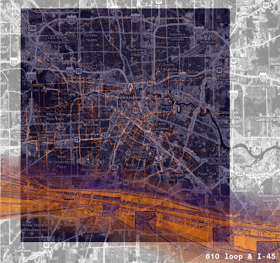
So this was my beginning point, trying to map out how I wanted to layer the different transportation systems and also urban networks existing within the inner city loop of downtown Houston. The orange lines within the map are existing and proposed bike and pedestrian paths. This helped guide which area I will begin to hone in and focus on for my project. The gray scale map shows the major adjacent neighborhoods and highway networks.
No comments:
Post a Comment